 GROWSAFEcertifiedTalk to us ↗
Western Southland · Serving Southland and Otago
Drone spraying.
AI weed mapping.
SpotSpray maps weeds from high-resolution drone imagery, plans treatment with real data and applies it precisely. From gorse and broom to visible wilding pines, we help farms and stations find the problem, treat it and record the work.
01
MAP
02
SPRAY
Proven in the field
Experience you can trust.
From the field
See us in action.
Ride along on a real drone-spraying flight across steep country. The live camera and map show the treatment lines while our operator monitors altitude, spray flow and coverage as the job progresses.
Growsafe accredited
Chemical application. Independently audited.
Spot Spray is the first and currently only dedicated drone-spraying contractor with Growsafe aerial accreditation, demonstrating our commitment to safe, independently audited practices.
01 — Two connected solutions
Find it.
Then treat it.
Our mapping and application systems work together, turning a complex weed problem into a targeted, measurable treatment plan.
01 / MAPAI weed
AI weed
mapping.
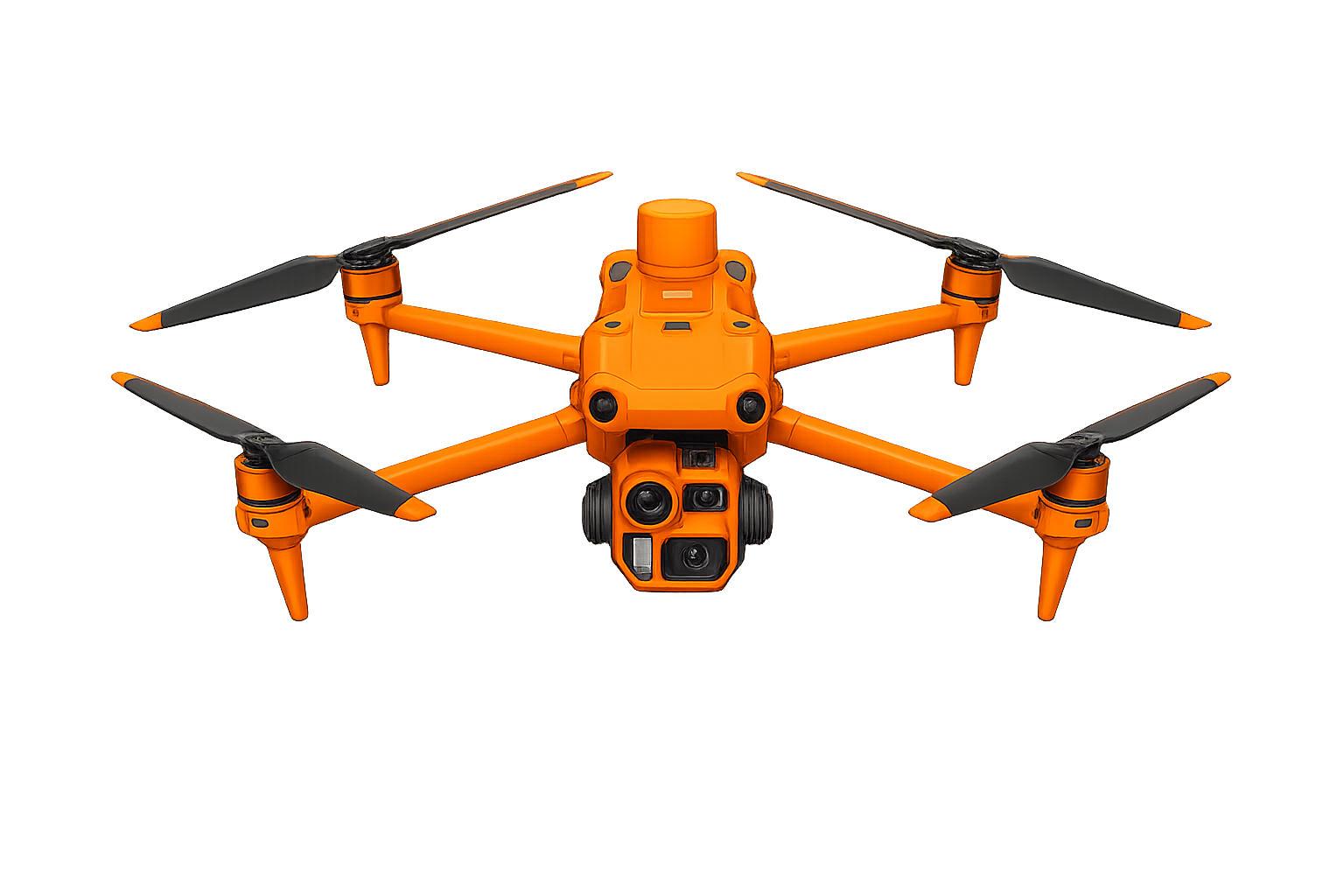
Find and map target weeds from high-resolution RGB drone imagery.
- High-resolution aerial capture
- RGB weed detection
- Treatment-ready prescription maps
 MAPPING INTELLIGENCE
02 / SPRAYPrecision
Precision
application.
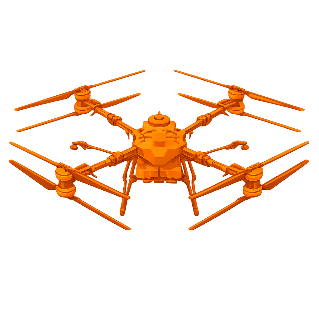
Turn approved weed locations into accurate, recorded application.
- Drone spot spraying
- Spray-boom application
- Recorded coverage and inputs
 PRECISE APPLICATION
More ways we can help
Additional drone services.
04
General blanket spraying
Full-coverage application for jobs where targeted treatment is not the right fit.
02 — How it works
The whole
process
One clear workflow from mapping to treatment and follow-up.
Show us your weeds ↗Capture
We fly the property and capture high-resolution RGB imagery if weed detection is required.
Detect
AI-assisted analysis identifies and maps the target weeds across the site.
Plan
The mapped data becomes a precise, practical treatment prescription.
Apply
A drone, spray boom or person on the ground treats the mapped weeds using the most suitable method for the job.
Report
You receive a clear record of coverage, inputs and completed work.
Follow up
We return to check the application results, confirm weed kills and identify any areas that need another treatment.
03 — Chemical planning
Plan the job.
Protect the budget.
Mapping turns a broad weed problem into a measurable scope of work. We locate the targets, define the treatment area and plan the inputs before application begins—so decisions are based on evidence, not guesswork.
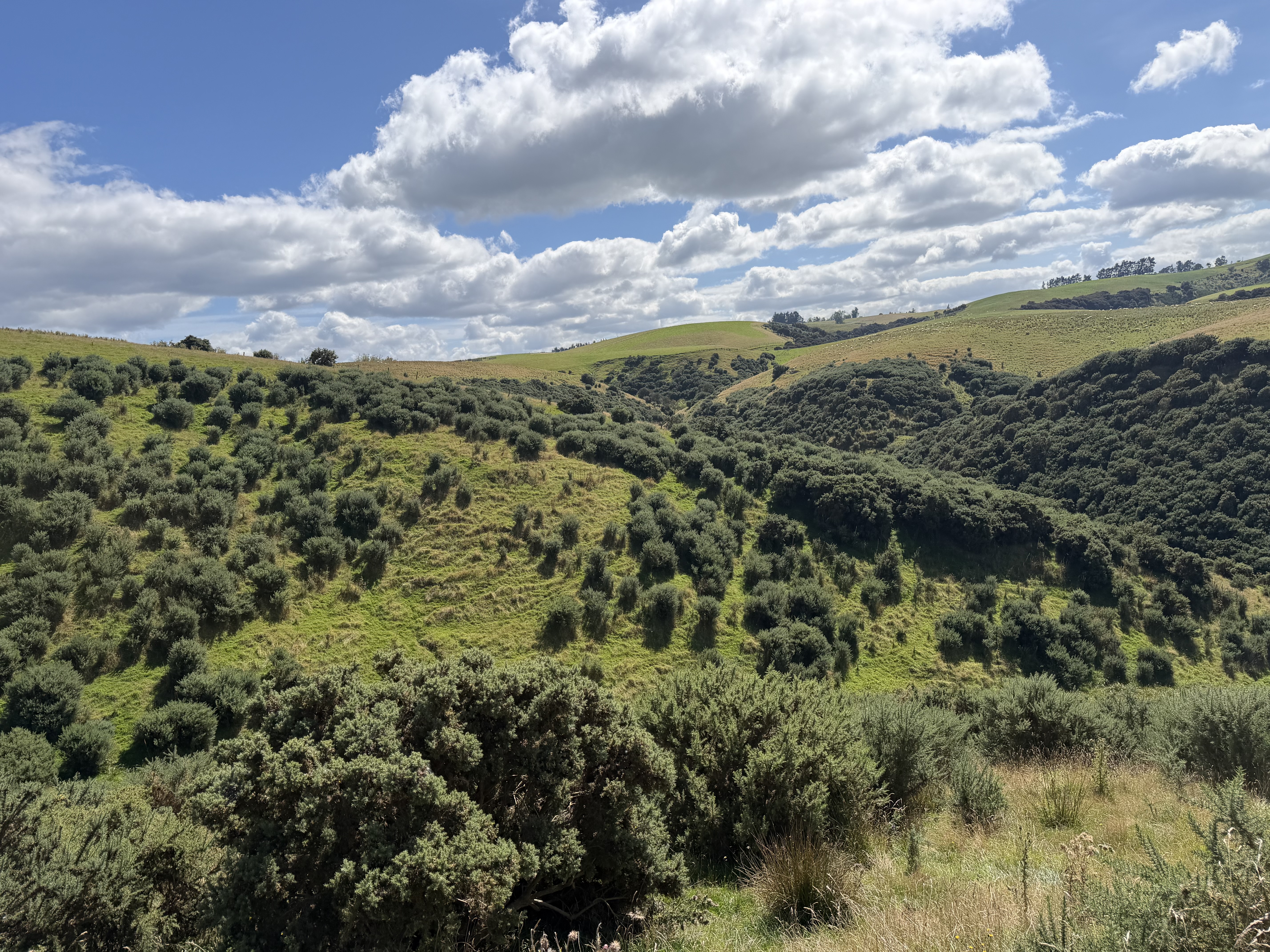
Mapped treatment areaData before dosage.
Target locations and treatment boundaries turn the property into a clear, costable job.
Map the actual problem
See where the target weeds are, how they are distributed and decide the most cost effective application method.
Quantify the treatment
Weed maps help landowners understand the scale of the issue by clearly showing the weed areas and locations across the property.
Build a realistic budget
Plan the method and resources around the measured weed burden instead of budgeting for an unknown problem.
Keep the evidence
Retain mapped weed locations and completed coverage as a useful record for reporting and future treatment decisions.
Chemical savings come from exclusionKnow where not to spray.
By knowing exactly where the weeds are, we can focus chemical on the problem areas instead of spraying large areas unnecessarily. That helps save product, time and money.
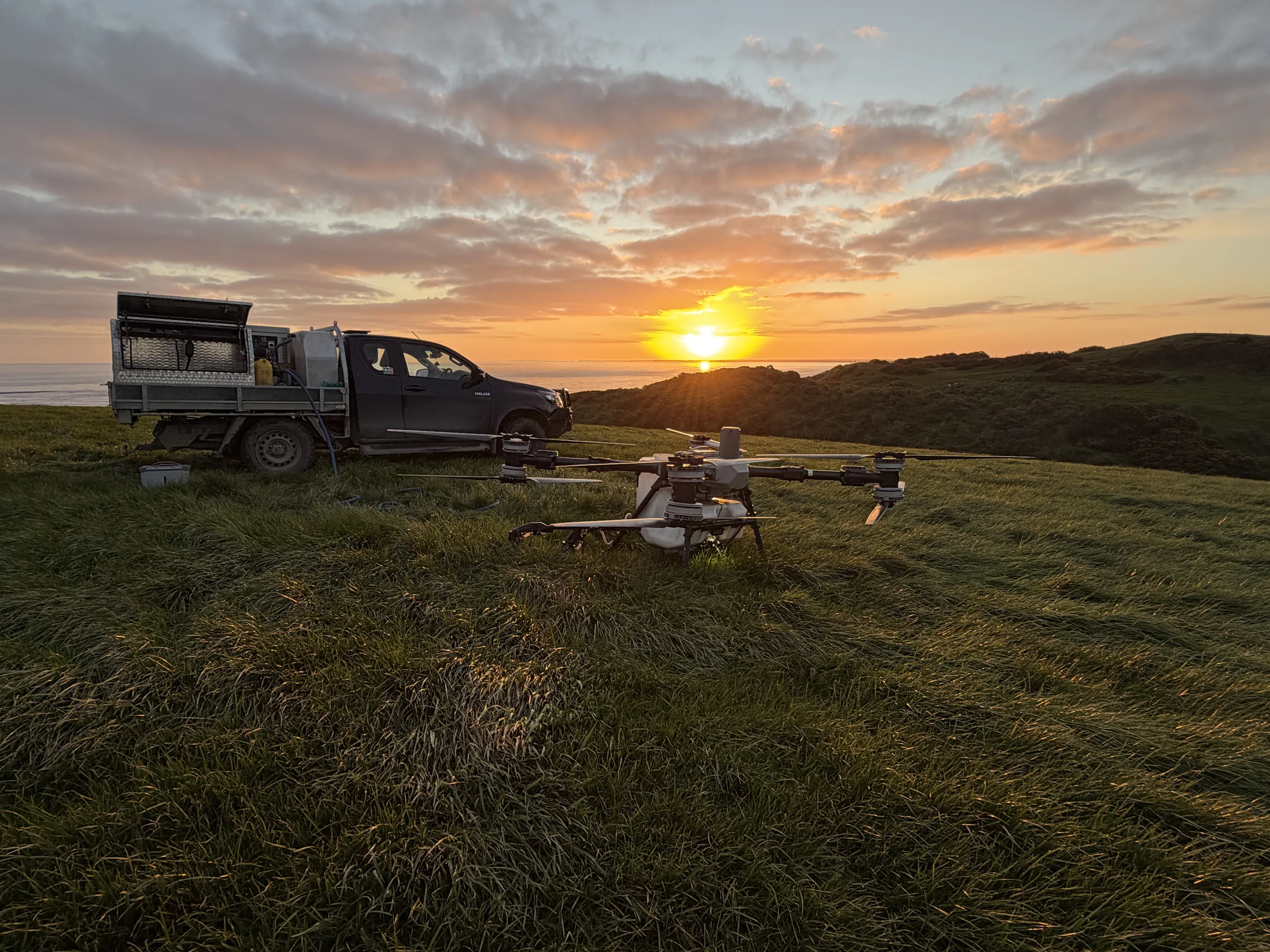
FIELD / APPLICATIONTechnology backed by practical operators.
Highly trained, experienced operators work from fully equipped 4WD utes, with backup drones and critical spare parts on hand to keep every job reliable and moving.
04 — AI weed detection
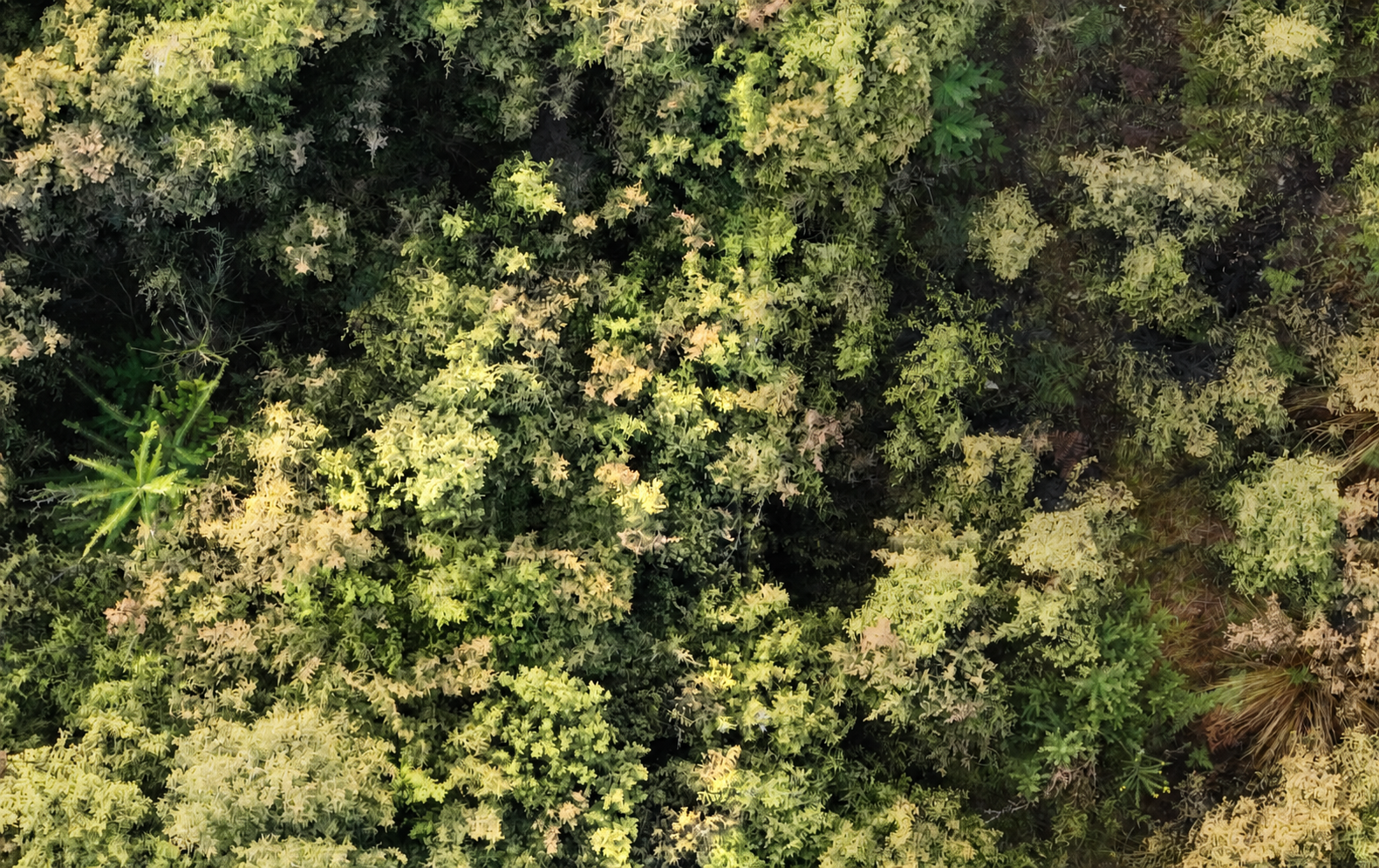
AI weed detection.
Final human approval.
05 — Case studies
The work behind
the result.
See how a field problem moves through capture, planning, review and delivery.
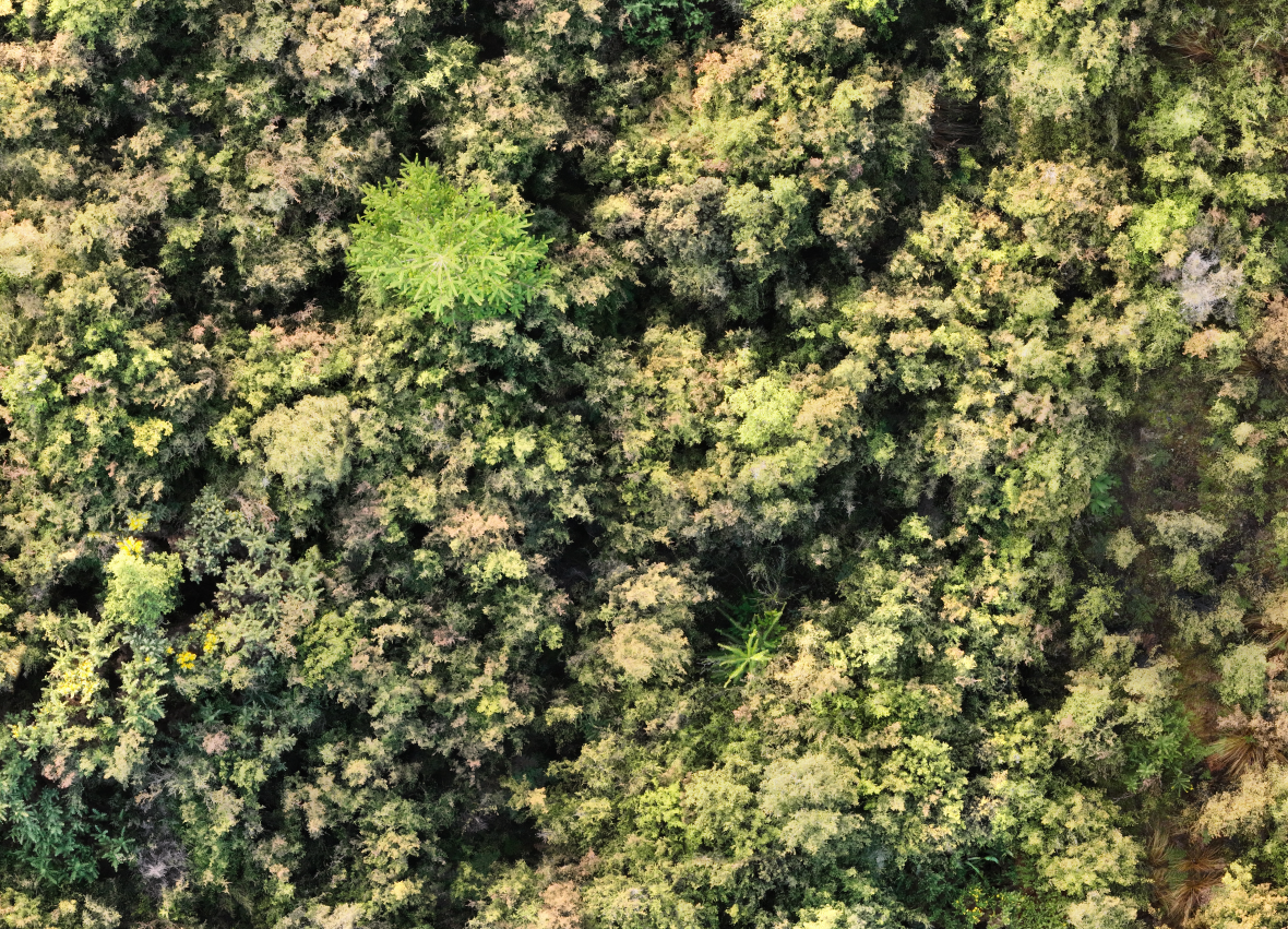 CASE STUDY 01
AI-assisted weed detection
Wild pine detection
using drones and AI
View case study ↗06 — Meet the fleet
The right aircraft
for the mission.
Different jobs need different aircraft. Our fleet lets us choose the right mapping or application tool for the property, terrain and weed problem.
01
High-capacity application
Agras T100
Our spot-spraying workhorse. Long range and large payload capacity make it ideal for extensive weed patches and jobs demanding high output
02
Mobile application
Agras T25
Compact enough to move by ATV into difficult country, while retaining the control and output needed for sporadic weed populations.
03
Rapid blanket application
P150 Max
A lightweight and dependable platform for time-sensitive work where reliable coverage and efficient setup matter most.
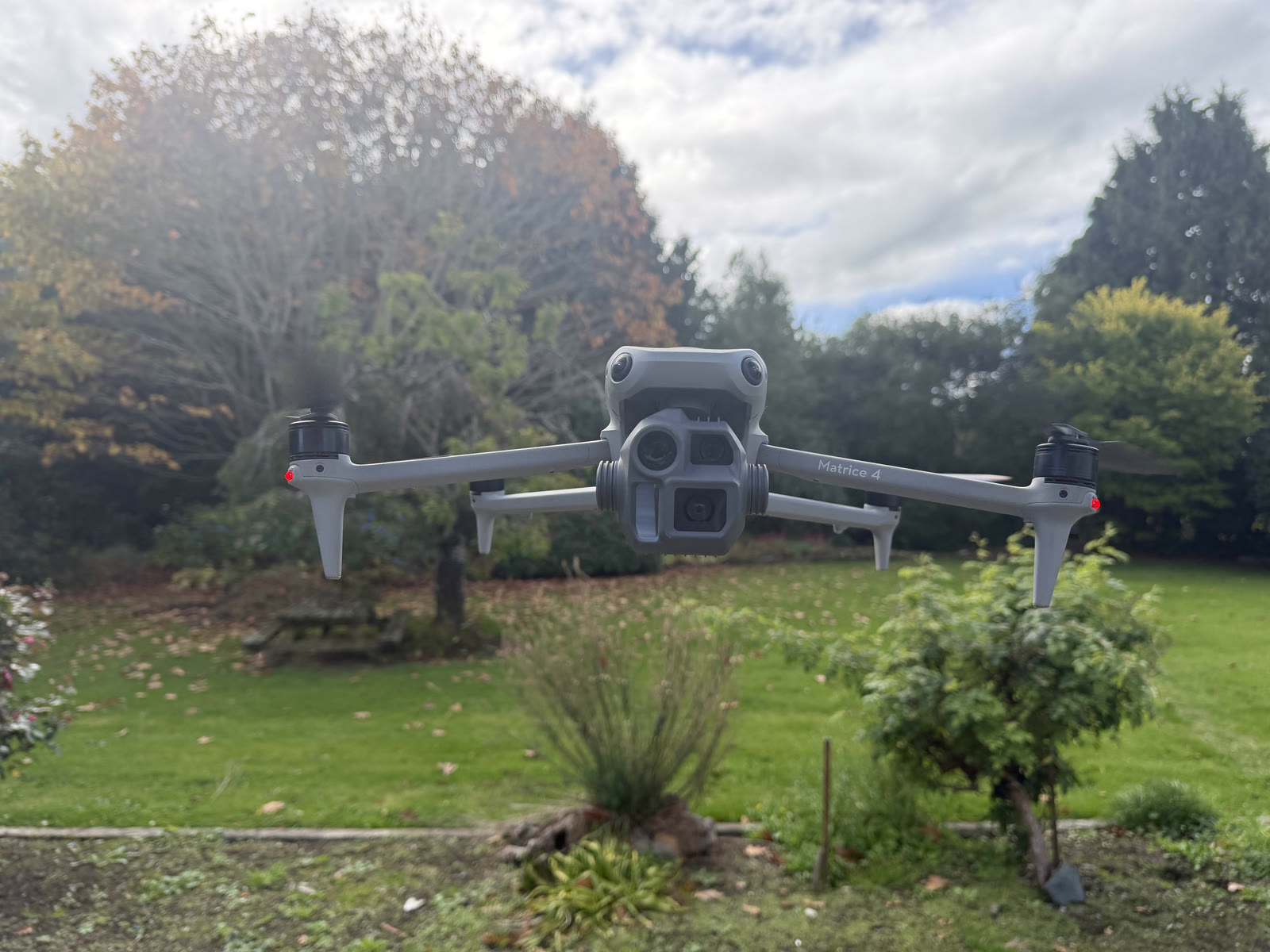
04
Detailed visual mapping
Matrice 4E
Long flight time and exceptional imagery, with zoom, laser rangefinding and low-light capability for complex mapping missions.
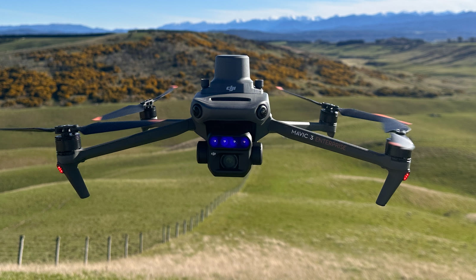
05
Detailed visual mapping
Mavic 3M
High-resolution RGB imagery gives the AI the visual detail needed to locate target weeds and support treatment decisions.
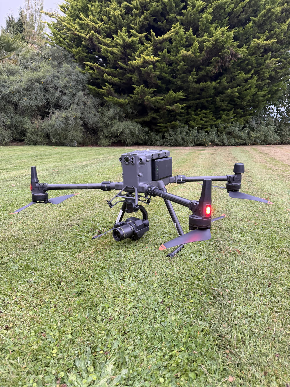
06
Heavy-duty mapping
Matrice 300
Built for the most demanding weed-detection work, where endurance, payload flexibility and image quality are non-negotiable.
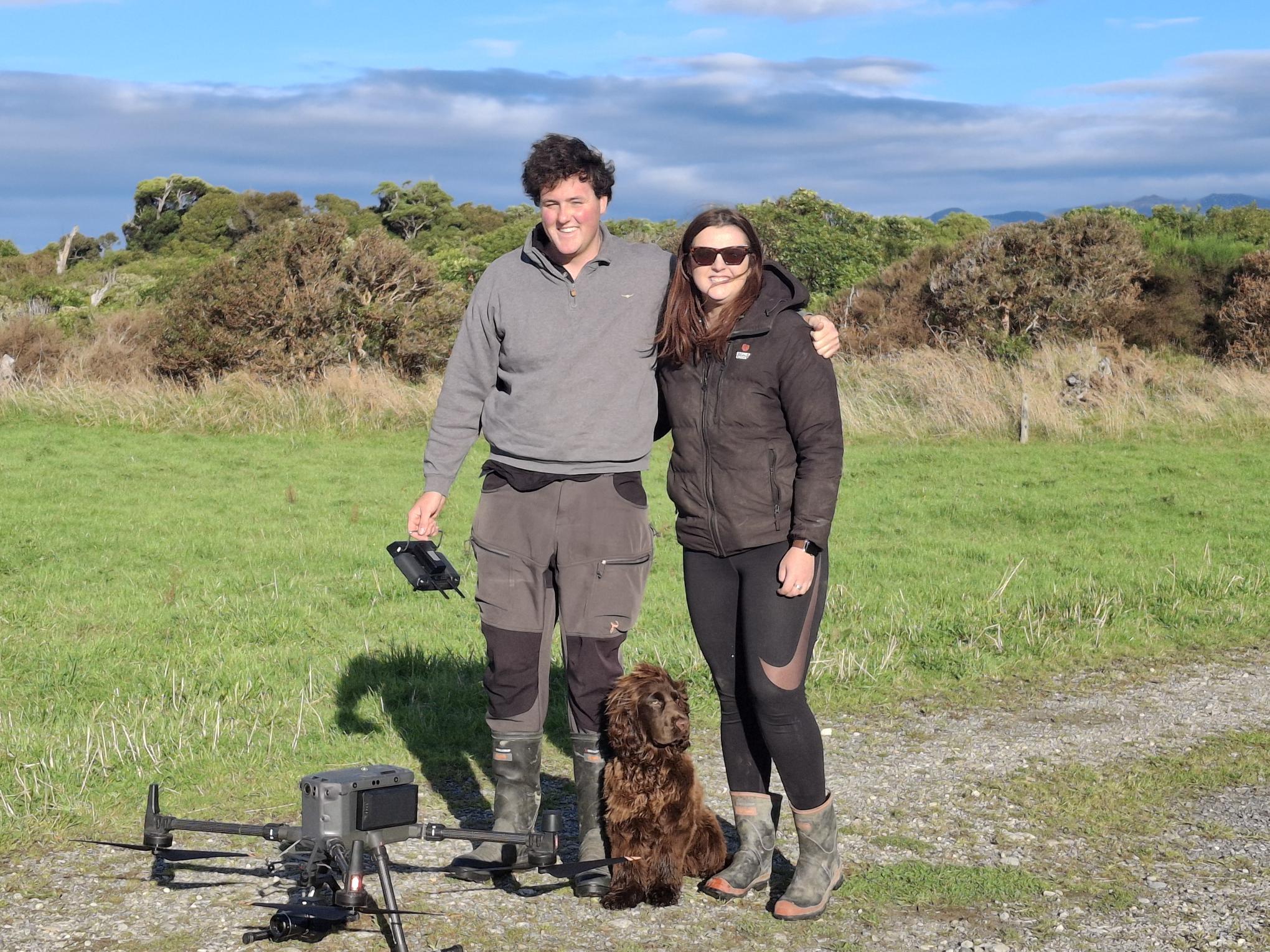
THE TEAMLocal people.
Advanced tools.
Advanced tools.
07 — About SpotSpray
Good data.
Better decisions.
Spot Spray combines field knowledge, modern drone systems and practical application experience to solve weed problems more intelligently.
Bethan and Nicholas are local, born and raised on the land. They understand the weed challenges facing the region and are dedicated to bringing practical new technology into weed control.
08 — Service area
Based in
Western Southland.
From our base in Western Southland, we service farms, stations and remote blocks throughout the lower South Island.
Home baseWestern SouthlandCoverageLower South Island
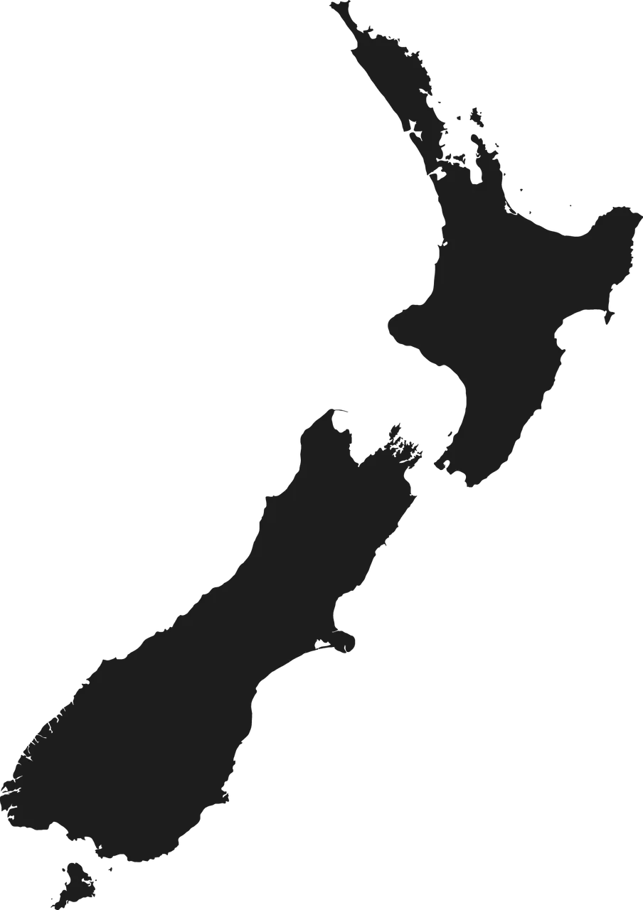
Mobile crews · Lower South Island
09 — Start here
Show us
your weeds.
Tell us where the property is and what you are dealing with. We will recommend the right mapping and application approach.
CONTACT NICHOLAS