Case study 01 · Wild pine
Wild pine detection
using drones and AI.
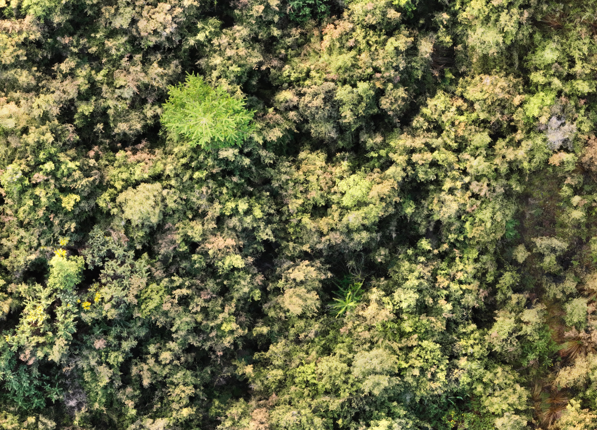
Using high-resolution drone imagery, human analysis and AI to find and locate visible wild pine trees above dense scrub canopy.
Read the case study ↓- Conditions
- Overcast · no shadows
- Image detail
- ≤0.3 cm GSD
- Review
- Human + AI
The issue
Finding wild pines
in impenetrable scrub.
Finding wild pines across dense, impenetrable scrub is difficult.
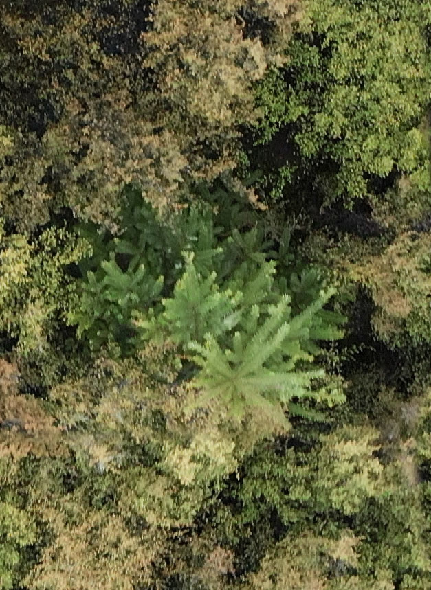
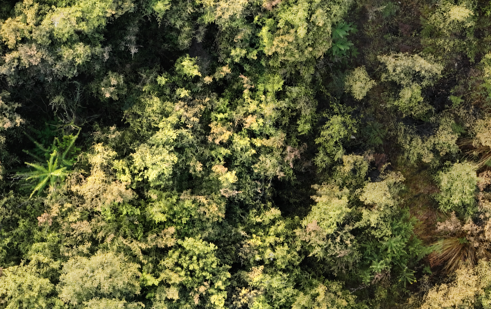
The thick scrub canopy limits visibility. The detectable trees are the wild pines visibly poking their heads above the surrounding canopy.
The solution
High-resolution imagery.
Human + AI analysis.
Drones capture high-resolution imagery across the terrain. Flights aim for cloud cover or overcast conditions with no shadows, and a ground sample distance of 0.3 cm per pixel or finer. The imagery is then processed and analysed by people and AI to find and locate all visible wild pine trees poking above the canopy.
- 01
Capture for detection
The flight is weather-dependent. We aim for cloud cover or overcast conditions so the canopy is shadow-free, giving the imagery the best detection potential. The target ground sample distance is 0.3 cm per pixel or finer so wild pines can be distinguished from similar-looking vegetation.
- 02
Reconstruct
The individual photographs are stitched into one detailed, georeferenced aerial view so the whole search area can be reviewed in context.
- 03
Train
Clear wild pine examples from that job are labelled alongside surrounding vegetation. The model learns from the imagery and conditions found on the site.
- 04
Detect + verify
AI searches the reconstruction for likely targets. An operator checks every candidate and keeps only detections that can be approved with confidence.
- 05
Export
Approved locations become a clean target layer that can be used to plan the most appropriate inspection or treatment method for the job.
Why the process matters
AI narrows the search.
A person makes the call.
The model proposes likely wild pine locations across the mapped area. Each candidate is then reviewed against the original imagery. Only approved detections are carried into the final dataset.
Detection boundary · Field evidence
Where aerial detection
stops.
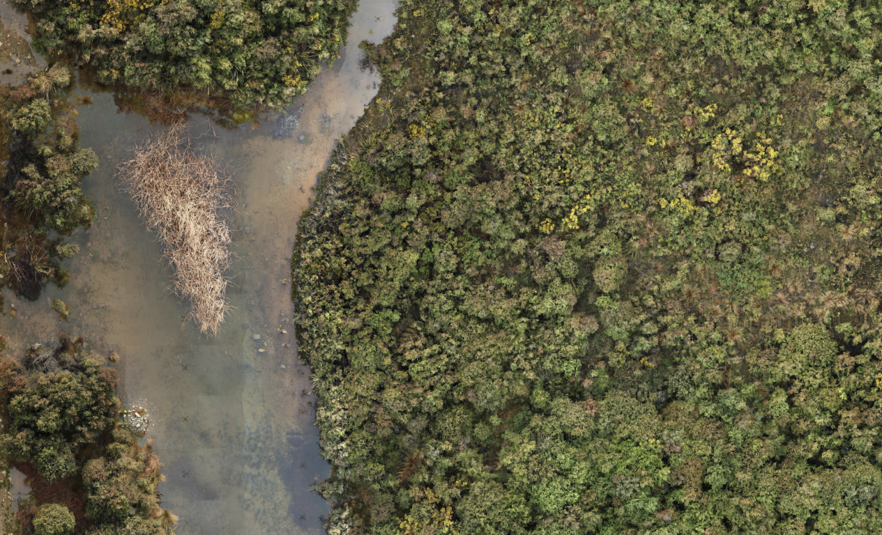
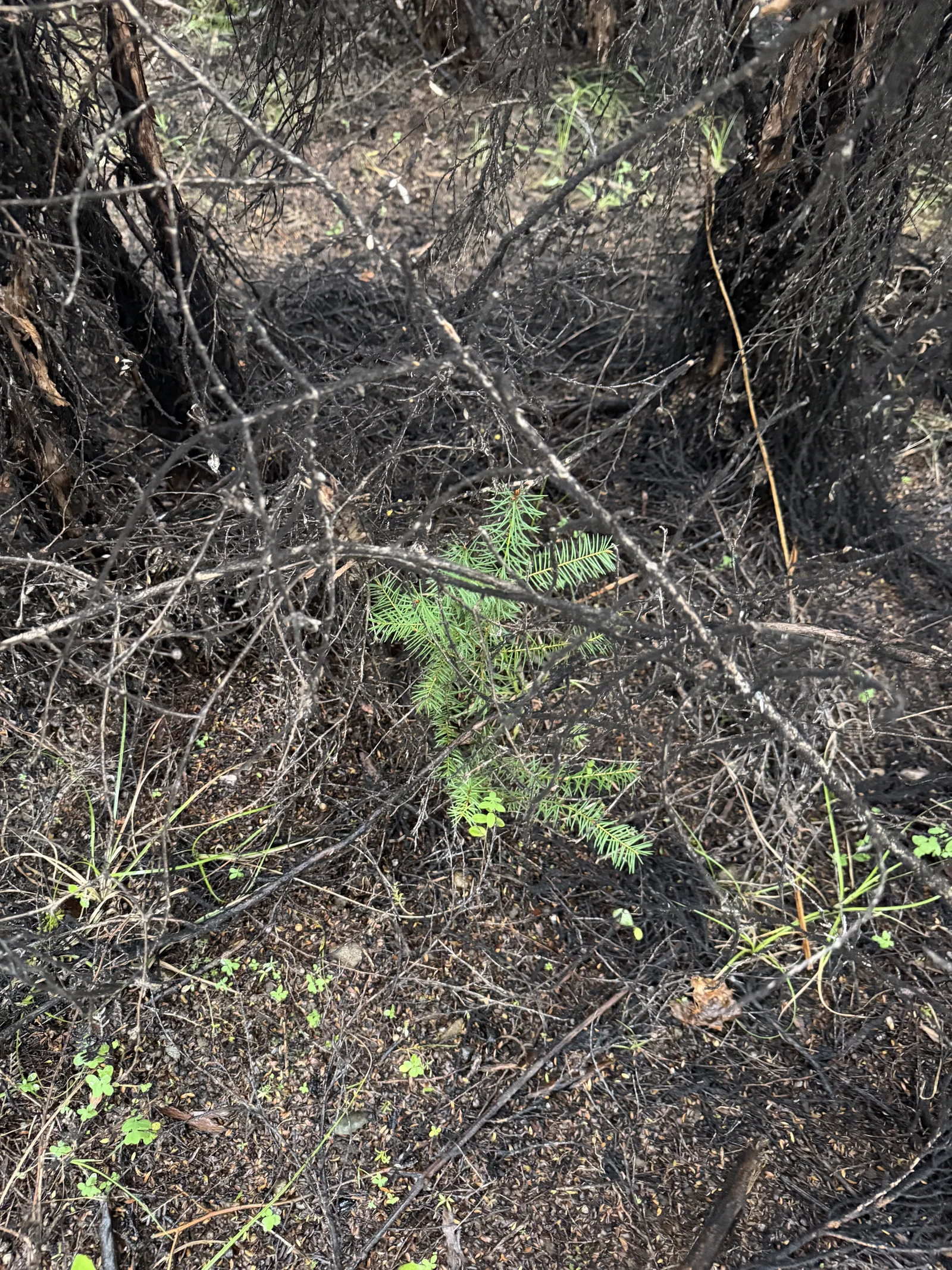
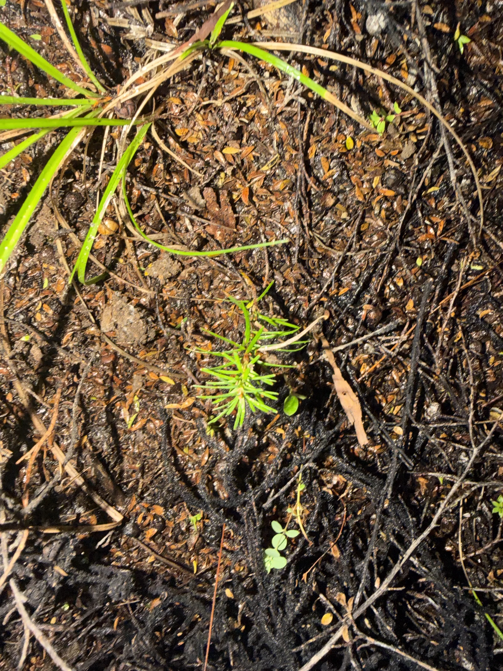
Drone imagery can locate wild pines that are visible above the mānuka canopy. Pines growing underneath the canopy cannot be seen from the air. Finding those concealed trees still requires someone to physically push through the dense scrub and inspect it at ground level.
The outcome
A clearer path
from image to action.
A mapped site
A high-resolution aerial reconstruction that preserves the wider property context.
Verified targets
Wild pine candidates reviewed by a person before entering the final layer.
Actionable data
Approved locations prepared for the most appropriate follow-up or application workflow.
The exact capture plan, review threshold and export format are matched to the site and the intended follow-up work.
Your property
Would you like a hand
to find wild pines?
Tell us about the target, terrain and area you need searched. We will help determine whether AI-assisted drone mapping is the right fit.
Discuss a detection project ↗