01
Plan the capture
Pick the right conditions
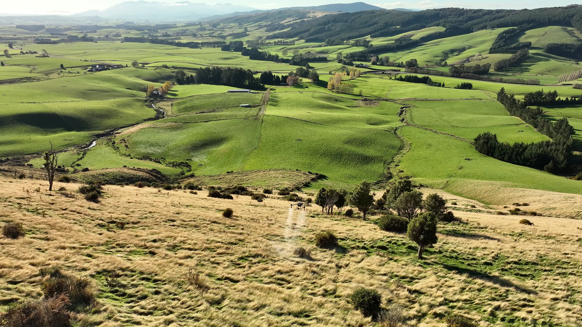
We aim for overcast days with even light and very low wind. This limits harsh shadows and motion blur, helping the camera capture clear, consistent detail across the property.
Green-on-green weed detection
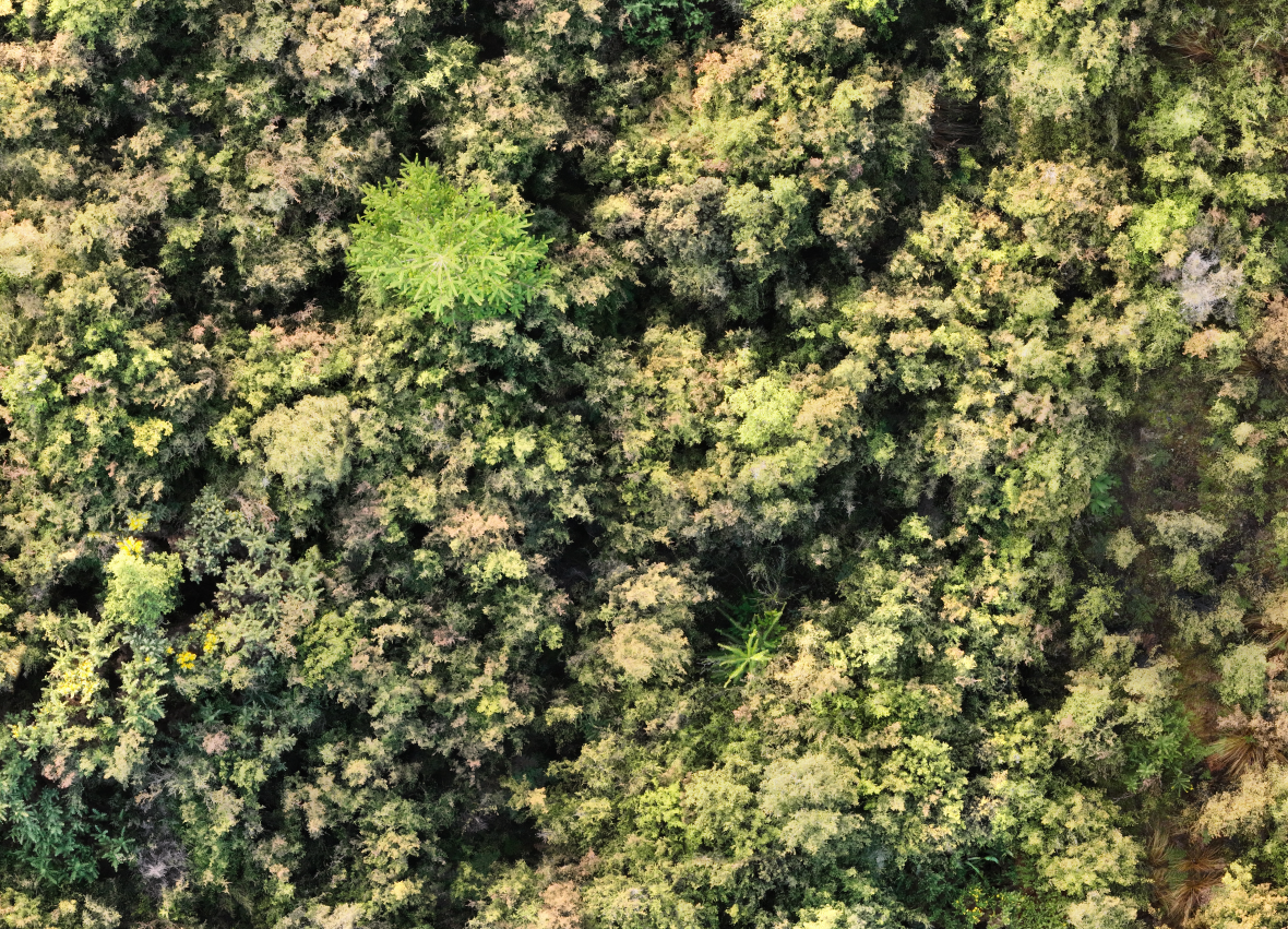
High-resolution drone imagery and job-specific AI help locate weeds hidden within vegetation. Every proposed target is checked by a person.
Three years of trial and refinement
Over three years we have tested and refined image capture, reconstruction, labelling, AI training and field verification on real properties. That trial and error shaped a repeatable system that turns complex aerial imagery into verified weed locations people can actually use to plan and complete work.
Case study 01 · Wild pine
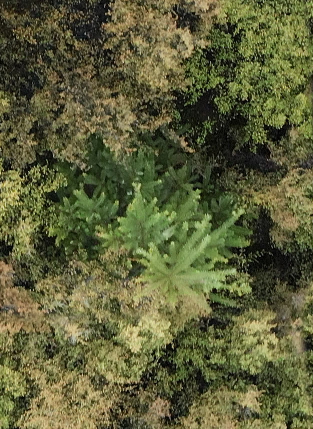
See how high-resolution drone imagery, human analysis and AI are used to locate visible wild pine trees above dense scrub canopy.
Read the wild pine case study ↗Plan the capture
We aim for overcast days with even light and very low wind. This limits harsh shadows and motion blur, helping the camera capture clear, consistent detail across the property.
Reconstruct
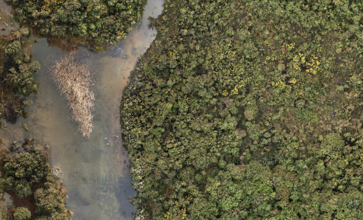
The individual photographs are stitched into a detailed, georeferenced reconstruction. This becomes the working view of the full site.
Train
An operator marks clear examples of the target weed and surrounding plants. The AI is trained for the weed, terrain and imagery collected on that job.
Detect + verify
The model searches the full map and proposes likely weed locations. A person checks each result and gives it a final yes or no.
Export
Only approved weed locations enter the final layer. The verified data is exported to the most appropriate application method for the job.
Real examples from the air
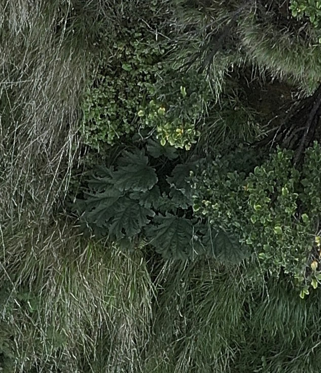
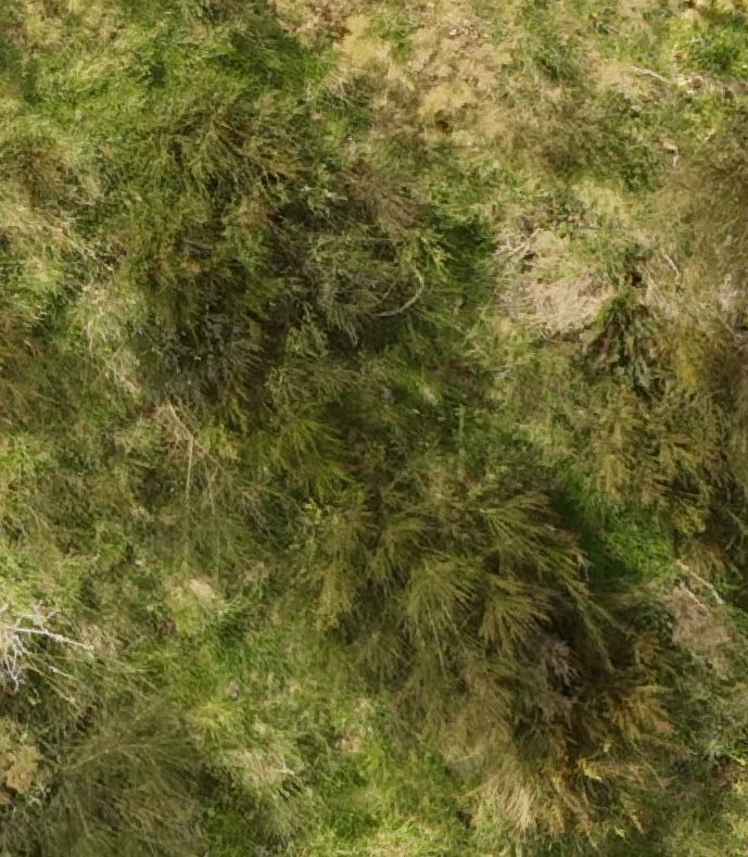
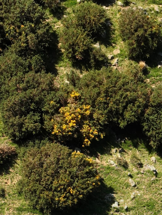
Training examples come from the actual job. That lets the model learn the target weed against the local vegetation and ground conditions.
Your property